The world, as it happens, on the record.
A free, public, map-based encyclopedia of photographs and video, contributed by the people who were there and archived into a new Volume each year.
§ 01 · The Volumes
One Volume per year. Every year, a new shelf.
Images are sourced from the MOUR App, shared with each owner's consent.
The home screen of the MOUR Geographic app is a bookshelf. Each spine is a year of the Living Arts Encyclopedia. The current Volume is open and rolling; earlier Volumes are sealed into the archive.
Current: Volume 2026. Earlier Volumes are shown as the app shows them, as a planned archive structure.
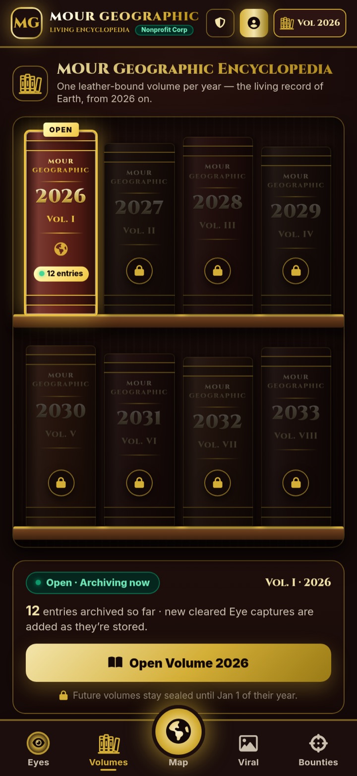
Open the current Volume.
Inside Volume 2026, entries roll in as they are captured: a single scroll of images and short video, each pinned to a place and a moment.
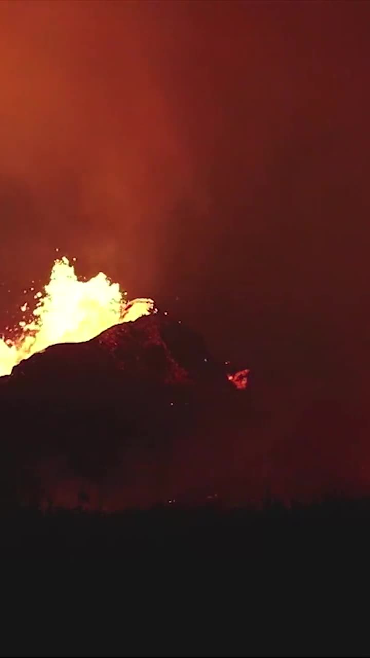
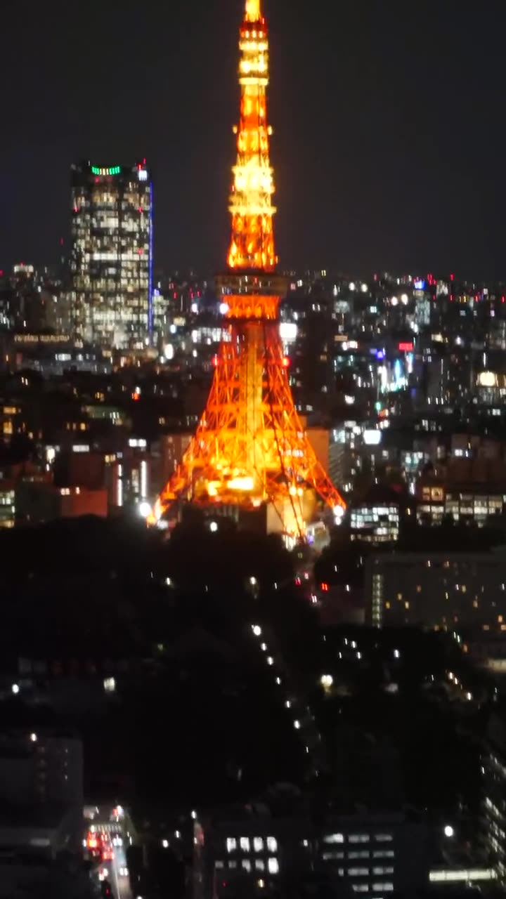
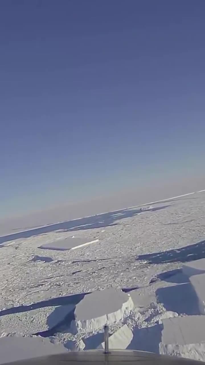
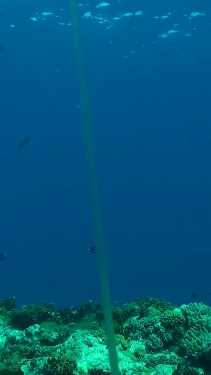
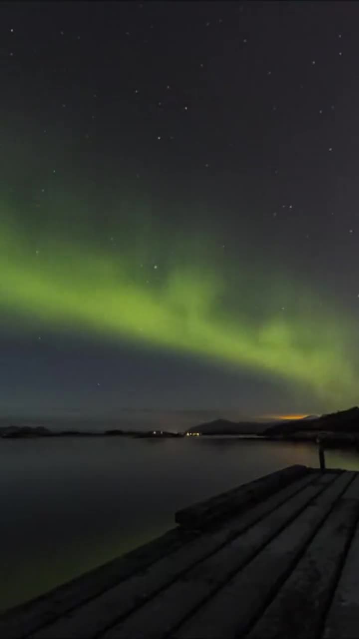
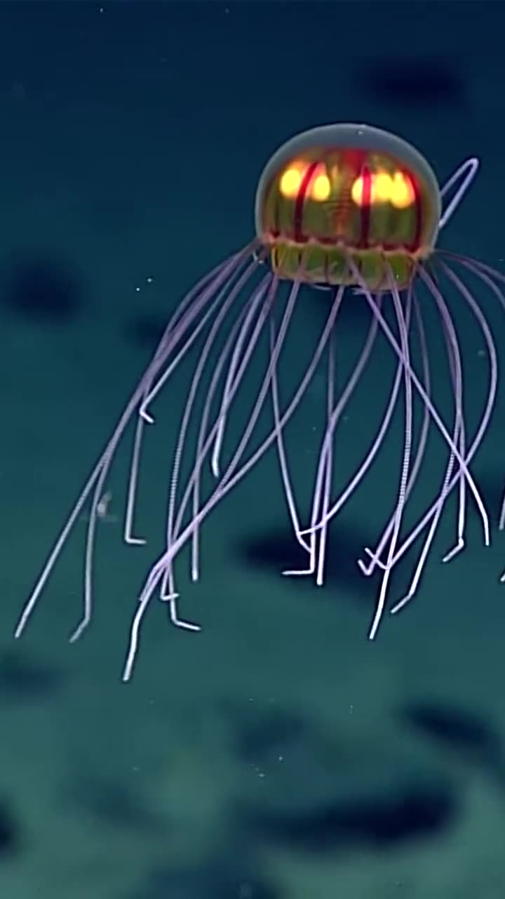
Images shown are sample media used in the MOUR Geographic app prototype (public-domain / Creative Commons, see credits). They are not MOUR Eye contributions. Live entries will appear here once the public feed is connected.
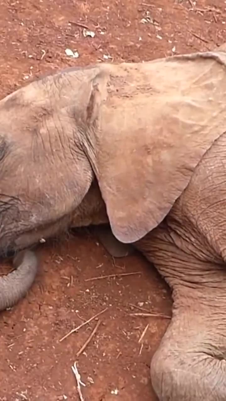
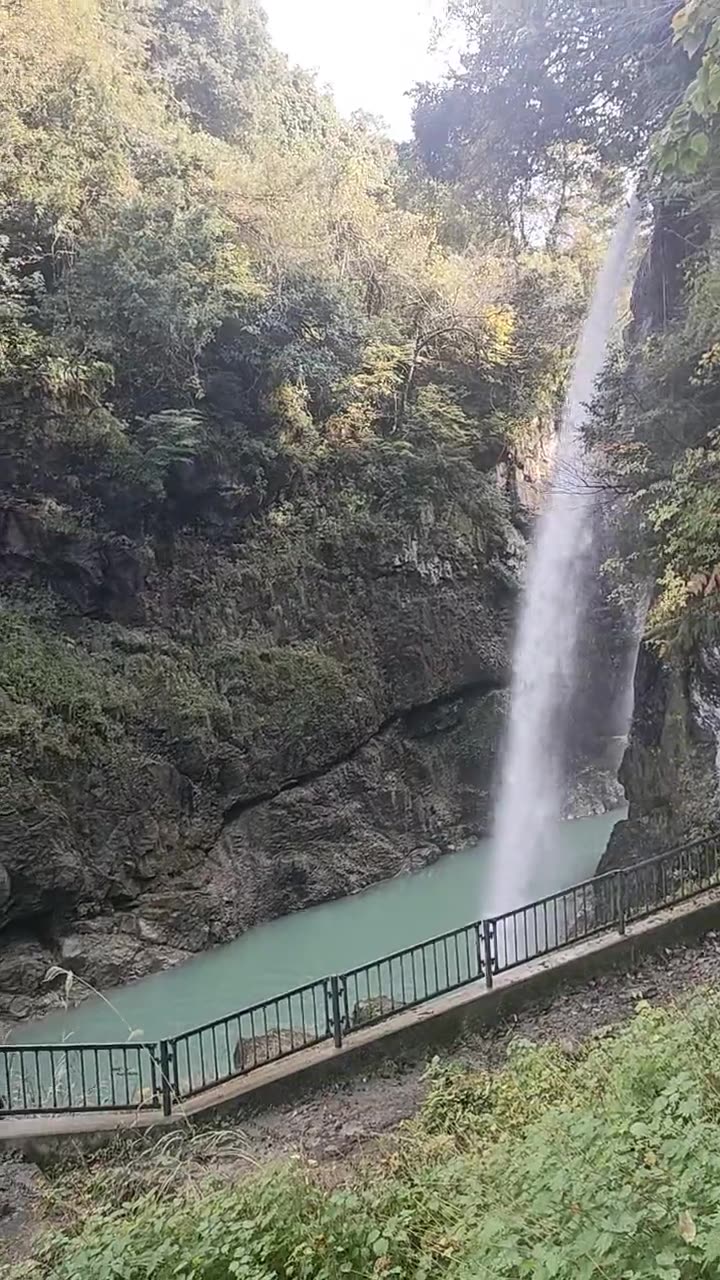
§ 04 · Public benefit
An archive that belongs to the public.
Free public access to a crowdsourced, map-based record of the arts, culture, communities, and events of our time.